Tesla's New Map Layer Targets FSD's 55% Speed Violation Rate
The automaker is developing an internal navigation system to correct errors in speed limit recognition and routing for its autonomous fleet.
By Victoria Singh ·
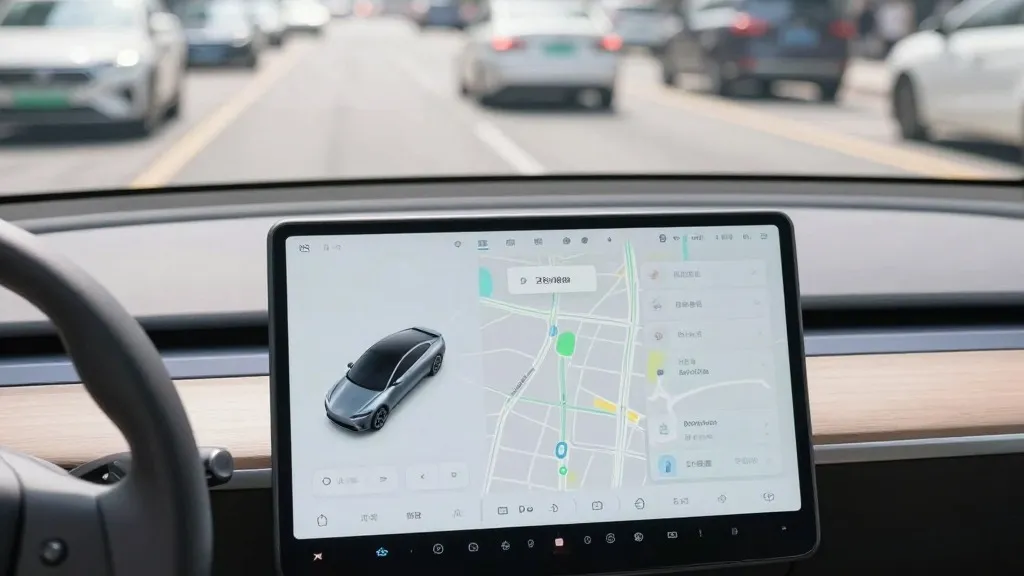
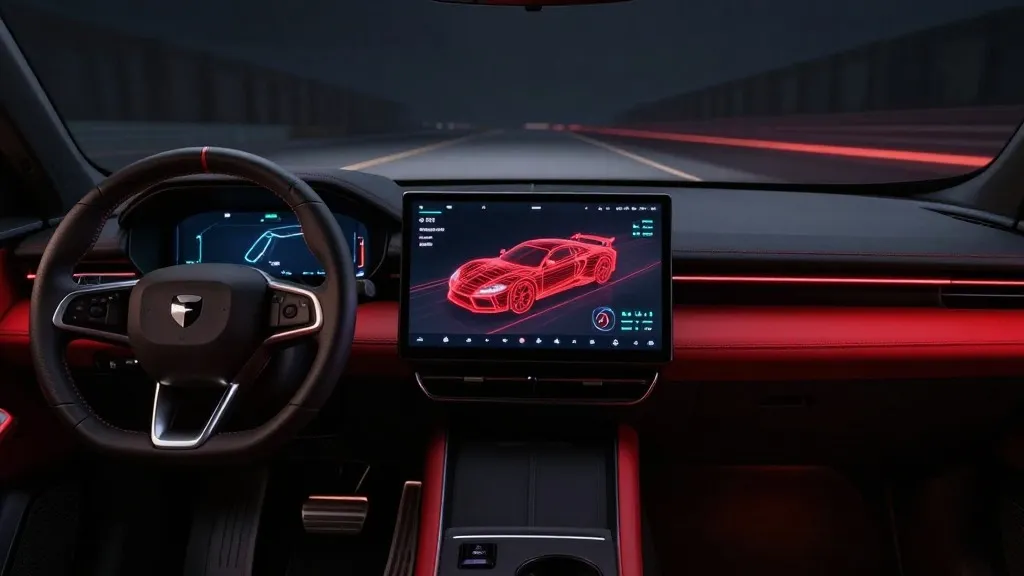
Tesla has long positioned its autonomous driving strategy as a pure vision solution, yet the company is now developing its own mapping infrastructure to address persistent software flaws. This strategic pivot aims to resolve common failures in the Full Self-Driving system, specifically regarding speed limit identification, parking logic, and route selection.
The initiative was detailed by Ashok Elluswamy, the company's VP of AI, during the third-quarter 2026 earnings call. He confirmed that the team is constructing a new architecture for mapping and navigation. This system will utilize data collected from the existing fleet to learn environmental details and individual driver preferences. The technology is designed to respond to voice commands and will initially manage trip start and end points in FSD v15. Over the coming months, it will expand to handle broader navigation tasks.
This development marks a significant departure from previous public statements. In 2019, CEO Elon Musk dismissed high-precision maps as a source of brittleness, arguing that reliance on them indicated a weak system. He famously labeled lidar a fool's errand and suggested that cameras and artificial intelligence were sufficient for driving anywhere. That narrative has shifted as Tesla now builds a map layer from its own fleet to correct errors its vision system makes.
The urgency for this update is highlighted by recent performance data. A Belgian road safety group reported last month that FSD exceeded speed limits in 55% of 30 km/h zones in Brussels. The vehicles averaged 44 km/h in those areas, often because the interface displayed an incorrect 50 km/h limit. In the United States, the NHTSA is weighing an investigation into claims that Robotaxis speed through active school zones, involving approximately 1,000 Model Y and Cybercab vehicles.
The new approach mirrors the operational model of competitors like Waymo. While Waymo uses lidar-equipped vehicles to create detailed maps before service launch, Tesla is now using its fleet to collect data that feeds into a central map. Both companies rely on vehicles to understand their environment. Tesla is not currently building centimeter-level HD maps, but the fleet-built system could evolve in that direction. This method aligns with the current Robotaxi service, which operates in specific geofenced areas.
For investors and market watchers, this shift suggests a more pragmatic approach to autonomy. By leveraging millions of vehicles to create a proprietary map, Tesla may gain a competitive advantage in data density. If this solves the speed limit issue, it reduces friction for users and regulators. The move implies that vision alone is not yet sufficient for reliable environmental understanding, bringing Tesla's technical strategy closer to the industry standard for self-driving systems.
The company plans to integrate these map features over the next several months. This timeline coincides with the push for unsupervised FSD in customer vehicles, currently targeted for the second quarter of 2027. The new infrastructure is expected to reduce errors in critical driving scenarios, potentially stabilizing the product experience for early adopters.
Source: Electrek · original report published
More Business · Consumer Alerts · Report a business · Got a Story?